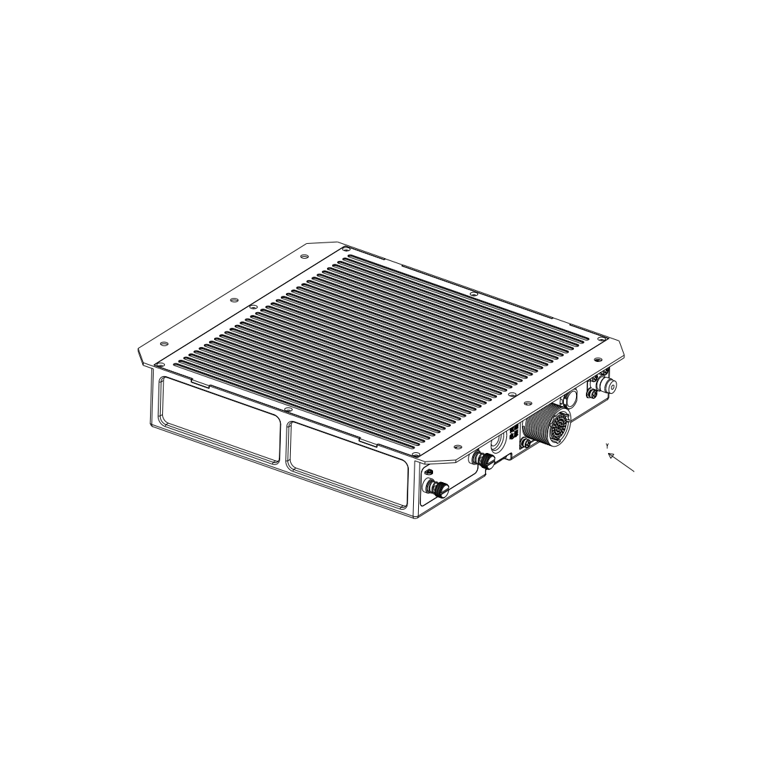
BDS-2120 airborne Beidou positioning and tracking equipment locates the aircraft in real time based on the Beidou positioning function, and periodically sends the obtained aircraft identification number, position, speed, time and other parameters to the ground platform using the short message function. It is the BDS airborne equipment that only realizes the aircraft tracking function. Aircraft parameters based on the output of the equipment shall not be displayed to the aircrew. Under normal circumstances, it cannot be used as the basis for air traffic controllers to implement air control decisions.
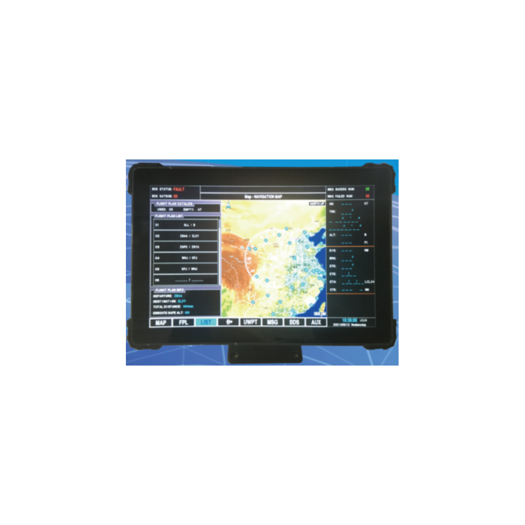
SDC-3 touch BDS multi-mode navigation system is used for airborne navigation. It has the functions of mobile electronic map, elevation rendering map, high altitude route map, flight management, waypoint management, satellite monitoring and ground proximity warning.
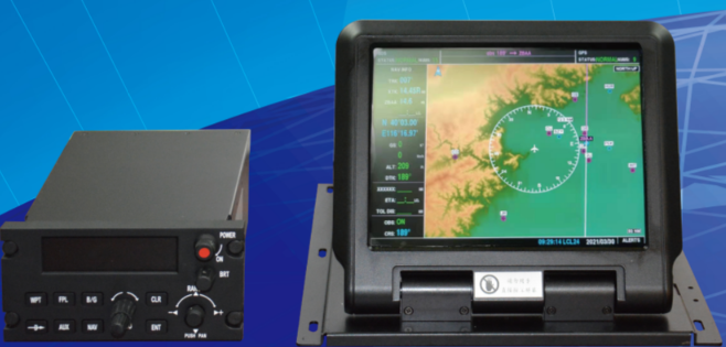
The system is composed of airborne multi-functional navigation display controller, host, aviation GNSS antenna and supporting cables, which can provide the aircraft with navigation and flight management functions based on GNSS. The airborne multi-functional navigation display controller includes airborne display and host. The airborne display has the functions of mobile electronic map, flight plan management and status monitoring; The host has control panel and BDS / GPS navigation module; The pilot realizes the human-computer interaction through the control panel, and controls the airborne display to realize the interface switching and input function.
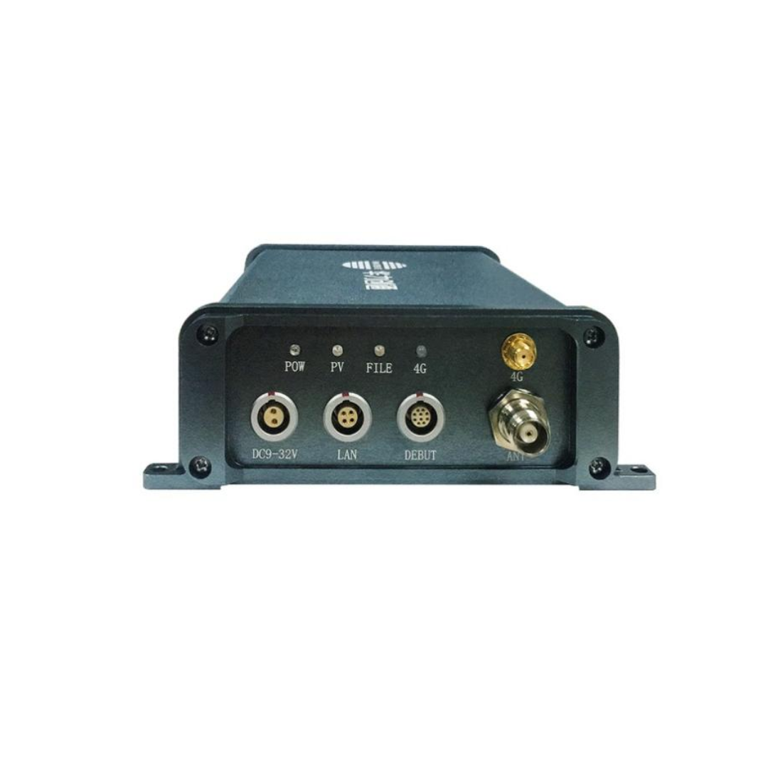
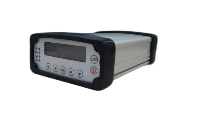
HLFY-BD-M200 GNSS receiver is the latest developed multi-mode multi-frequency high-precision receiver that supports the full frequency of the whole system by Hwa Create. It supports GPS L1/L2/L5, BDS B1I/B2I/B3I/B1C/B2A, GLONASS G1/G2, Galileo E1/E5a/E5b. It has the function of static calculation and carrier phase RTK, focuses on optimizing the sensitivity and RTK performance, and provides high-quality observation data and configurable update rate.
The HLFY-BD-M200 GNSS receiver has rich external interfaces, and has the functions of high-precision position information acquisition, large-capacity storage, remote control, data solution, wireless transmission, real-time display, power failure and endurance.
-17041637485.png)
The portable ground station dedicated for high-precision navigation of UAV, and has the functions of radio self-test and navigation health monitoring. It proves application in desert, container, cement ground and other harsh environments with good wind resistance.